Furthermore, in Indonesia, the advancement of technology is yet to be fully tapped to help the decision-making process during the disaster response phase. Instead, these crucial decisions are still made subjectively. To address the pressing issue, Dr. Mohammed Ali Berawi and his research team at the Center for Sustainable Infrastructure Development Universitas Indonesia (CSID UI) have conducted rigorous research to create a decision-making model, which helps the search and rescue (SAR) team in determining the personnel and heavy equipment to deploy. Therefore, it streamlines the allocation of personnel in a search area and determines the number of personnel and heavy equipment required based on the area, population density, equipment, and the number of high buildings. All of those variables are processed using a fuzzy expert system and a decision tree.
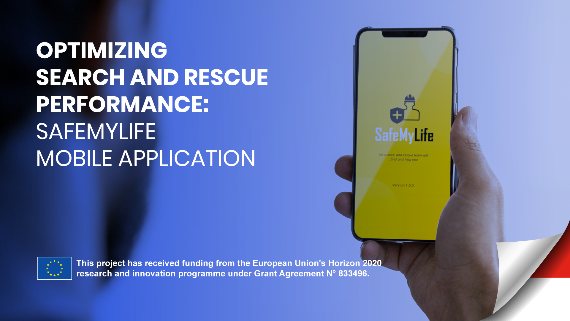
To complement the research findings, CSID has developed a mobile application named SafeMyLife to improve disaster response time and increase the victim survival rate by taking into account their level of vulnerability to optimize search and rescue prioritization. The application has two main features: preloaded content and the panic button.
The preloaded content provides users with information related to the nearest safety points from the user's location, the estimated time required to reach the safety points (e.g., police station, local hospital, mosque, community center, etc.), and also real-time information about disasters given by official authorities.
The panic button feature provided by the system enables the user to notify the rescue team about their condition during an emergency. When the victims tap the “Panic Button”, the rescue team can accurately determine their location, enabling them to prepare appropriate aid or treatment plans for the victims effectively. Based on the user information, such as age, special needs, and health status, provided upon registration, the algorithm automatically categorizes the users into groups, thereby allowing vulnerable groups (e.g., people with disabilities, pregnant women, children, the elderly, people with underlying medical conditions) to be identified accurately.
With the help of the SafeMyLife app, a city's inhabitants are expected to become more vigilant when facing potential disasters and other hazardous events. Ultimately, the application becomes an example of the efforts made to address urban resiliency in developing sustainable smart cities.
Center for Sustainable Infrastructure Development Contact Information
Address: Engineering Center FTUI 3rd floor R.305, Jalan Professor Doktor Ir R Roosseno, Kukusan, Depok City, West Java, Indonesia
Email : csid@eng.ui.id
Reference
https://ijtech.eng.ui.ac.id/article/view/3709
http://www.tj.kyushu-u.ac.jp/evergreen/contents/EG2020-7_2_content/pdf/Pages_246-252.pdf
https://www.sciencedirect.com/science/article/abs/pii/S2212420921002569